Marine Surveys
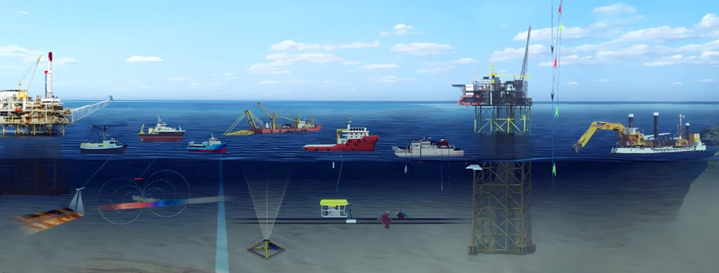
Marine surveying is a critical component of coastal engineering, marine infrastructure development, and offshore asset management. At Geonavic, we deliver high accuracy marine survey solutions designed to support ports, harbors, coastal developments, offshore structures, dredging operations, and environmental studies across the UAE.
Our marine survey team integrates hydrographic expertise, advanced sensors, and geospatial intelligence to provide precise underwater and near shore data essential for safe navigation, engineering design, and regulatory compliance.
Geonavic’s marine survey capabilities include:
- Topographic plans (AutoCAD/PDF)
- Control point data
- Volume calculation reports
- As-built drawings
- Survey reports
This ensures complete, reliable, and engineering grade marine intelligence.
Marine Survey Technologies Used by Geonavic
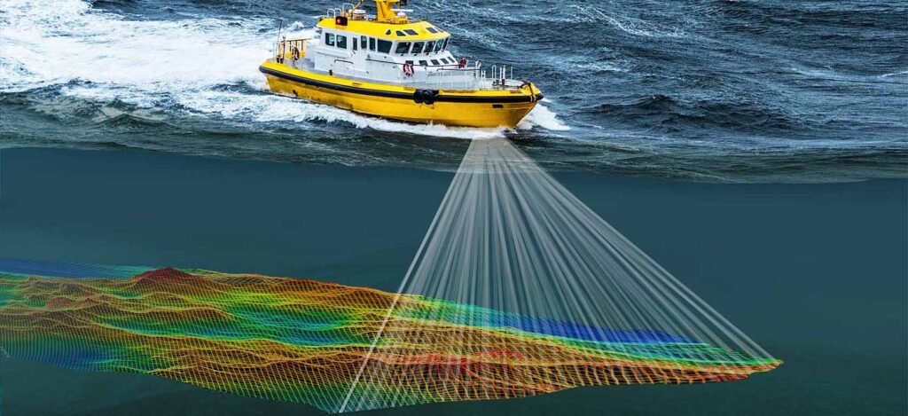
Geonavic integrates advanced hydrographic and geospatial systems, including:
- Multibeam & single beam echo sounders
- Side scan sonar
- Sub bottom profilers
- GNSS positioning
- Tide gauges & current meters
- UAV coastal mapping
These technologies ensure accurate, high resolution marine datasets.
Why Choose Geonavic for Marine Surveys?

Regulatory Compliance
All marine operations comply with UAE maritime regulations, environmental standards, and coastal development guidelines.

Experienced Hydrographic Team
Our hydrographic engineers and marine technicians bring extensive experience in offshore and coastal environments, ensuring safe and efficient operations.

Engineering Grade Accuracy
Our marine surveys follow international hydrographic standards (IHO), ensuring reliable data for engineering and navigation.

Integrated Coastal & Offshore Expertise
Marine surveys are seamlessly integrated with:
- Topographic Survey
- Aerial Survey
- Mobile LiDAR Mapping
- GIS Mapping