Scientific & Engineering Consulting
Geonavic Survey offers comprehensive geo-consultancy services backed by local expertise, advanced technology, and extensive experience in understanding complex terrains, soil and rock characteristics, and associated geotechnical challenges. Our high-precision, data-driven interpretation and recommendations integrate geotechnical, geophysical, geospatial, and environmental expertise to support infrastructure and development projects across both land and marine environments.
Our Critical Geo-Information Program is designed to identify and assess geo-hazards through a combination of in-house expertise, advanced technologies, and multidisciplinary approaches. At Geonavic Survey, we understand the complexities of diverse terrains, soil and rock conditions, and the geotechnical challenges associated with engineering and infrastructure development.
We utilize state-of-the-art technologies to collect accurate and reliable data, followed by detailed analysis and interpretation to deliver dependable results. By combining expertise across geophysical, geospatial, and geotechnical disciplines, we provide fit-for-purpose, comprehensive, and practical solutions that enable informed decision-making and reduce risks throughout the project lifecycle.
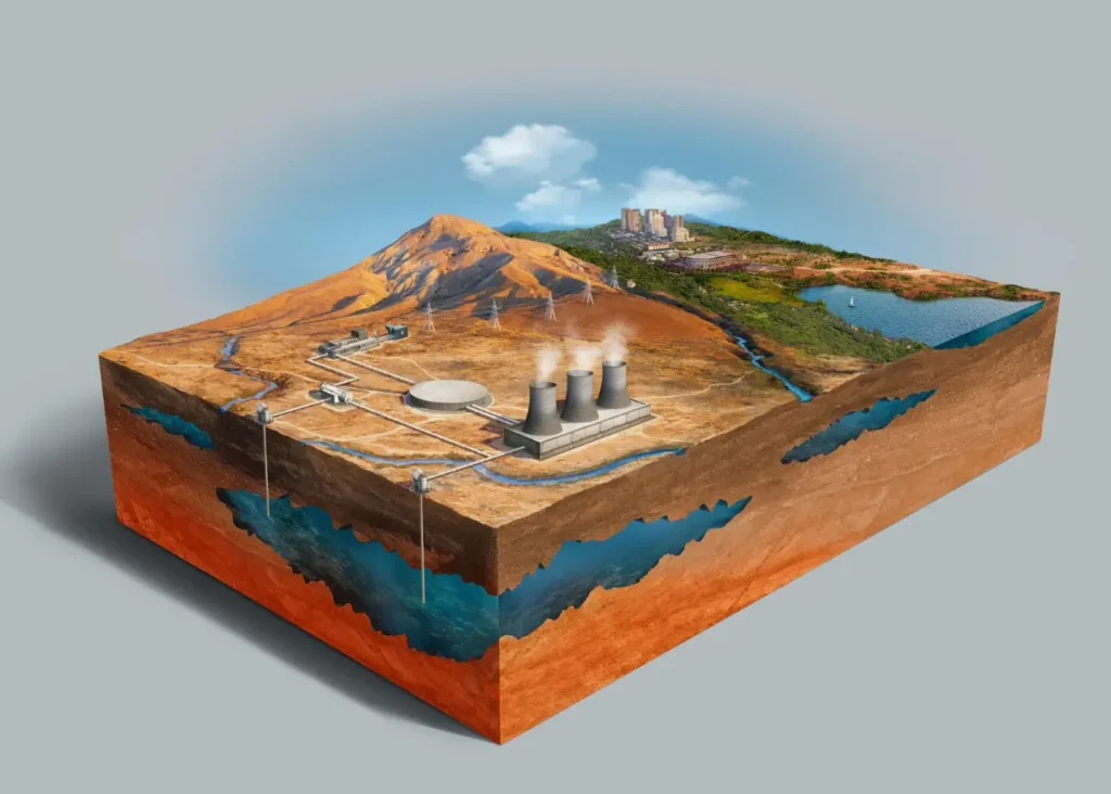
Geo consultancy team provides ground engineering report to outline the subsurface conditions of a site and provides engineering recommendations for design and construction.
- Assess soil and rock properties
- Evaluate groundwater conditions
- Recommend foundation systems
- Identify geohazards and construction risks
Why It Matters?
Design Optimization
Ensures foundations are tailored to actual ground conditions.
Risk Mitigation
Identifies potential hazards like landslides or sinkholes.
Regulatory Compliance
Supports approvals and permits for construction.
Cost Efficiency
Prevents overdesign and costly surprises during execution.
Time Efficiency
Prevents project time overrun by removing uncertainties and factual information surprises.