
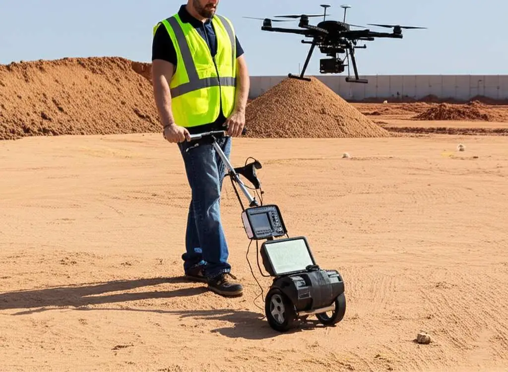
Geophysical & Subsurface Services
Geophysical surveys provide accurate and efficient insights into subsurface conditions with minimal disturbance to the site surface. In essence, geophysics enables you to “see below the surface” without the need to excavate large areas or drill an excessive number of boreholes.
Geonavic Survey provides a comprehensive range of geophysical applications and services for clients seeking non-invasive, surface-based ground investigations. Our surveys help identify the subsurface distribution of geological materials and water resources, detect contaminated zones, and assess potential natural hazards such as faults, karst features, cavities, major fractures, and other ground instability or failure features.
Using state-of-the-art geophysical instrumentation and advanced data-processing techniques, including joint inversion methods, Geonavic Survey can rapidly and accurately locate, map, analyze, and interpret subsurface features and anomalies. Our integrated approach delivers reliable subsurface intelligence to support informed engineering and development decisions.
ONSHORE GEOPHYSICAL SERVICES
- Multichannel analysis of surface waves (MASW)
- Seismic refraction & tomography
- Borehole seismic methods including tomography (downhole and cross hole testing)
- Self-potential (SP)
- Electrical resistivity tomography (ERT)
- Geographic Information System (GIS)
- VSP and check shot seismic
- Ground penetrating radar (GPR)
- Groundwater exploration and assessment.
- Vibration Monitoring
- Digitizing Services
OFFSHORE GEOPHYSICAL SERVICES
- Marine Multichannel analysis of surface waves (Marine MASW)
- Marine Electrical Resistivity Tomography (Marine ERT)
- Marine Magnetic Survey
- Marine Refraction and Reflection
- Single and Multi-Beam Echo Sounder
- Geohazard survey
ENGINEERING/GEOLOGICAL APPLICATIONS OF GEOPHYSICS
- Depth-to-bedrock, or thickness of an overburden.
- Geometry of bedrock.
- Competency of bedrock – for foundation design or excavation needs (e.g., rip ability).
- Lateral variability of soil stiffness
- Vertical variability of soil stiffness
- Low-strain elastic constants
- Presence of faults.
- Depth to water table.
- Dam stability.
- Dam seepage.
- Levee assessment.
- Foundation and/or abutment characteristics for dams and levees.
- IBC Site Classification – Vs30 (meters).
- Identify Construction Obstacles – pipelines, cut-off walls, MSE walls, or utilities.
- Landslide and slope monitoring; slide plane detection
- Karst – in limestone and dissolution in gypseous bedrock settings
- Lithologic changes – lateral and vertical, particularly in soil deposits
- Reuse of foundations – particularly for bridges.
- Man-induced collapse features (engineering failures).
- Quality control for ground improvement (e.g., DDC, soil-mix columns, or jet grouting)
- 1D, 2D or 3D assessment of small or large sites for geologic anomalies
- Permafrost thickness and stiffness
ENVIRONMENTAL APPLICATIONS OF GEOPHYSICS
- Spills or Free Product in the shallow subsurface
- Abandoned oil wells
- Lateral delineation of historic landfills
- Vertical imaging of landfill thickness
- Time lapse monitoring (4D) investigation for flow movement
- Abandoned and covered / buried mud pits from oil well drilling
- Unknown geologic conditions (e.g., karst, faults, dipping layers)
- Time lapse monitoring (4D) investigation for flow movement
- Abandoned Mine Lands (AML) – both coal and hard rock
- Leak detection for liners
- Acid Mine Drainage