

Precision Mapping Solutions with Topographic Surveys in UAE – Geonavic
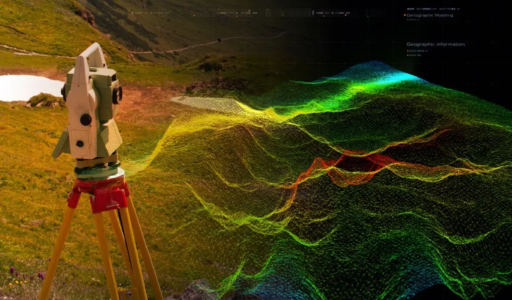
Topographic mapping is a core component of Geonavic’s precision geospatial solutions, enabling developers, engineers, and asset owners to make informed decisions based on accurate land and terrain data. By capturing detailed natural and man made features—terrain elevations, vegetation, water bodies, utilities, roads, and built structures—topographic surveys provide essential insights for safe, sustainable, and efficient infrastructure development.
Geonavic, a specialized engineering and geospatial solutions provider delivers high accuracy topographic survey services across UAE. Whether you are planning a construction project, assessing land feasibility, or developing critical infrastructure, our expert surveyors ensure you receive precise terrain data for confident decision making.
Understanding Topographic Surveys
A topographic survey is a detailed land mapping process that documents natural and artificial features of a landscape. Using advanced surveying instruments, geospatial technologies, and engineering expertise, Geonavic produces accurate terrain models and elevation data essential for infrastructure planning.
Topographic maps support multiple applications:

Engineering Design
Topographic land surveys provide engineers with accurate elevation and terrain information, enabling the design of safe, functional, and sustainable structures. This data is vital for roads, utilities, industrial facilities, and large scale infrastructure.

Regulatory Compliance
Environmental and engineering consultants rely on topographic mapping to evaluate land characteristics for regulatory approvals. Terrain insights help minimize environmental impact and support sustainable development strategies.

Land Development
Developers use topographic surveys to assess project feasibility. Geonavic’s terrain analysis identifies slopes, drainage patterns, access constraints, and environmental risks that may influence construction planning.
Flood Risk Assessment
In Dubai’s evolving landscape, topographic surveys are essential for identifying flood prone zones. By analyzing elevation variations and natural drainage paths, Geonavic supports engineers in designing protective measures for communities and critical assets.
Why Choose Geonavic for Your Topographic Survey Needs?
Geonavic stands out as a trusted partner for precision land surveying and engineering grade geospatial solutions.
Comprehensive Range of Surveying & Engineering Services
Geonavic offers a wide spectrum of specialized services, including:
- Underground Utility Survey
- As Built Survey
- Gate Level Computation
- Demarcation Services
- 3D Laser Scanning
- Gate Level Marking & Verification
This diverse portfolio ensures Geonavic can support projects of all scales with a complete, integrated surveying solution.
Licensed and Accredited
Geonavic operates under Gulf Survey’s established credentials and is fully licensed by:
- Dubai Municipality
- Dubai Land Department
These accreditations reinforce our commitment to delivering compliant, safe, and high quality surveying services.
Regional Coverage
We serve clients across UAE, ensuring accessible and dependable surveying expertise for infrastructure, energy, marine, and land development sectors.
- Topographic Survey
- Aerial Survey
- Mobile LiDAR Mapping
- GIS Mapping
Providing complete land to sea geospatial coverage.

Commitment to Accuracy
Our team of qualified surveyors and engineers uses cutting edge technologies to deliver high accuracy terrain data. Precision and reliability are embedded in every project we undertake.
Client Centric Approach
We prioritize transparency, communication, and timely delivery. Geonavic ensures clients remain informed throughout the project lifecycle while maintaining strict adherence to quality, safety, and regulatory standards.
Get Accurate Topographic Survey Solutions with Geonavic
Geonavic specializes in precision land surveying and geospatial engineering, delivering advanced mapping solutions backed by reliability, transparency, and timely execution. Our accurate terrain data and actionable insights empower developers, engineers, and asset owners to make informed decisions that drive project success.
Contact Geonavic today to discuss your topographic survey requirements.
Aerial Survey Solutions
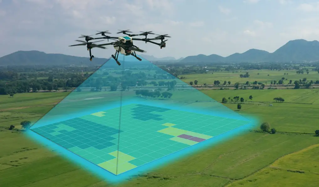
Aerial surveying is one of the most advanced and efficient methods for capturing high accuracy geospatial data across large areas. At Geonavic, we integrate cutting edge aerial technologies with engineering grade mapping standards to deliver precise, reliable, and actionable terrain intelligence for infrastructure, development, and environmental projects across Dubai and the Northern Emirates.
Our aerial survey solutions provide rapid data acquisition, superior coverage, and exceptional detail—making them ideal for projects requiring high resolution mapping, 3D modeling, and large scale land assessment.
Get High Accuracy Aerial Survey Solutions with Geonavic
Geonavic delivers advanced aerial surveying and geospatial mapping solutions designed for precision, safety, and efficiency. Whether you require large scale terrain mapping, 3D modeling, or engineering grade elevation data, our aerial survey team ensures reliable outputs that support confident decision making.
Mobile LiDAR Mapping
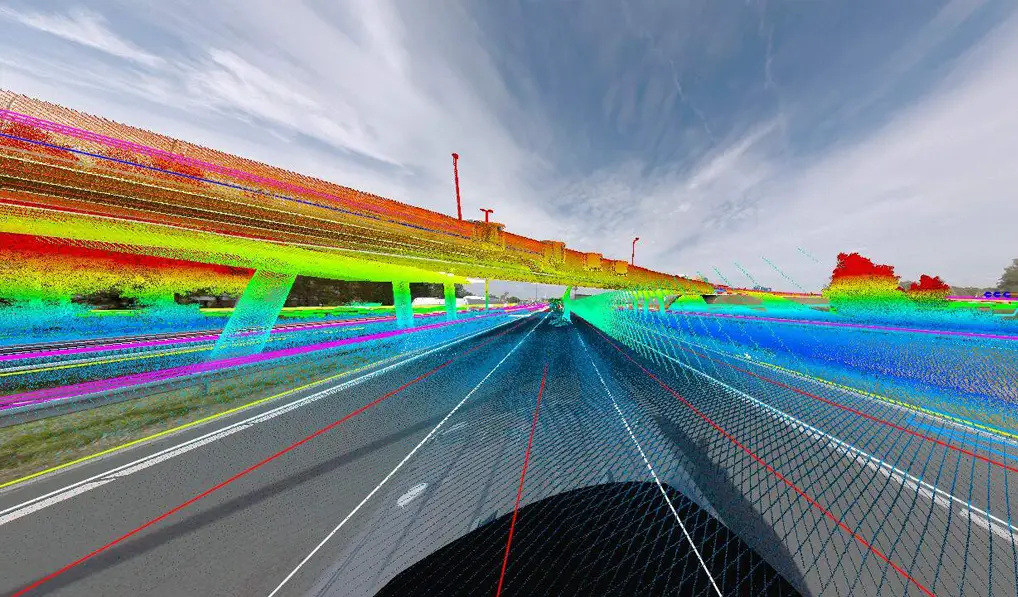
Mobile LiDAR Mapping is one of Geonavic’s most advanced geospatial technologies, enabling rapid, high accuracy data capture for corridors, road networks, urban environments, and large scale infrastructure projects. By integrating LiDAR sensors with GNSS/IMU positioning on a mobile platform, Geonavic delivers engineering grade 3D data with exceptional speed, precision, and efficiency.
Mobile LiDAR is ideal for projects requiring detailed terrain modeling, asset inventory, deformation analysis, and high resolution mapping—especially where traditional surveying methods are time consuming or disruptive.
Advanced Processing & QA/QC
Our geospatial specialists apply rigorous quality control, ensuring reliable outputs for design consultants, contractors, and government authorities.
Integrated Geospatial Solutions
Mobile LiDAR integrates seamlessly with Geonavic’s other services:
- Topographic Survey
- 3D Laser Scanning
- Underground Utility Survey
- Aerial Survey
This ensures complete, end to end geospatial coverage for infrastructure and development projects.
Get High Accuracy Mobile LiDAR Mapping with Geonavic
Geonavic delivers advanced Mobile LiDAR Mapping solutions designed for precision, speed, and engineering reliability. Whether you require corridor mapping, asset inventory, or detailed 3D modeling, our LiDAR team ensures accurate data that supports confident decision making.

GIS Mapping
Geonavic’s GIS Mapping solutions transform raw geospatial data into intelligent, actionable information that supports engineering design, infrastructure development, environmental planning, and asset management. By integrating advanced Geographic Information Systems (GIS) with precise survey data, we deliver spatial insights that empower clients to make informed, data driven decisions.
Our GIS services combine high accuracy field data, aerial imagery, LiDAR scans, and underground utility information into a unified geospatial environment—ensuring seamless visualization, analysis, and reporting for complex projects across UAE region.
Custom GIS Solutions
We develop tailored GIS databases, dashboards, and mapping systems based on project requirements—supporting long term asset management and operational efficiency.
Advanced Visualization & Reporting
Geonavic delivers:
- Interactive GIS maps
- 3D terrain models
- Spatial analytics
- Custom reports